There are no items in your cart
Add More
Add More
| Item Details | Price | ||
|---|---|---|---|

A two-day immersive workshop to understand the implications of digital mapping, GIS on our society, while studying processes of urban change.
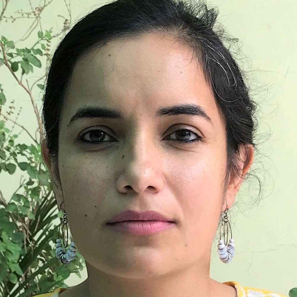
Instructor: Dr. Khusdeep KaurLanguage: English
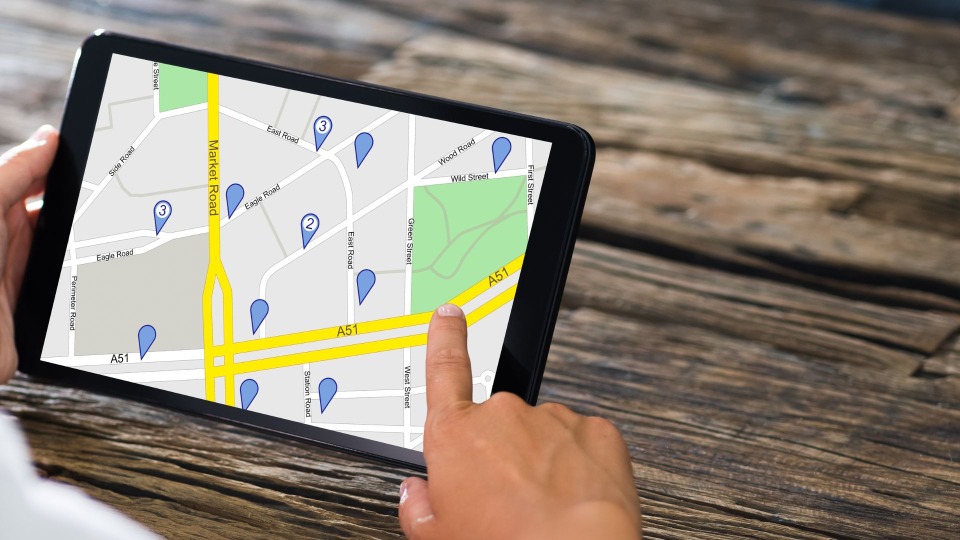
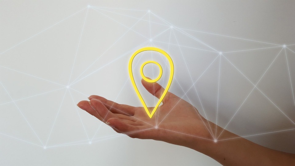
Maps have become ubiquitous tools to the world today. From using them for directions to locating restaurants in our neighborhoods to even seeking companionship using dating apps, maps are everywhere. But how does digital mapping make these conveniences possible, and what are its implications for our society? In this two-day workshop, we will begin to understand how maps work– what constitutes locational data, how it is processed, and where it comes from. Beyond these basic questions, we will also explore the role of mapping in understanding contemporary “geographic” issues such as urbanization, migration and climate change. In examining the role of mapping in addressing these issues, we will evaluate its utility in informing policy and planning, but also meditate on how the act of mapping shapes the relationship between the subjects of maps: humans and lands.
The course structure will consist of modules that last 2 hours each, and will require students to engage with readings and practical activities. Anyone interested in learning basic tools of Geographic Information System Mapping (GIS) with a background in high school-level geography
Attend a dynamic one weekend workshop facilitated by an accomplished expert.
An intensive certification workshop offered through live online lectures where you participate in discussions and activities.
Study in a small cohort with a specialist professor who will engage with unique pedagogy.
Last date for registration: 12th January 2023
Discounts: You can avail discounts if you have 3 or more registrations. Reach out to us know more about group discounts.
Also, the instructor plans to offer a longer duration course on this topic in 2023. All participants in this workshop will receive a 50% off on the course.
2 days workshop with 6 sessions of 2 hours each
Full-day weekend workshop
Small cohort to maximize personal attention.
Please note:
The Workshop has already been conducted.
The recording of the workshop are now available for you to learn from.
Certificates are not included in the pre recorded workshops
Register to enter the session to gain profound Knowledge and insight.
Dr. Kaur recently completed her PhD in Geography and Urban Studies from Temple University. Her dissertation examines experiences of home-making and belonging among the Kashmiri Sikh community in the context of precarity and militarization in Kashmir Valley. Currently she is working on expanding her dissertation research to understand Sikh youth's political subjectivities across Kashmir and Punjab.
She is also a research consultant with IIT-Delhi, where she is tasked with understanding young women's on-campus experiences and their implications for women's retention in STEM, using 'affective' GIS to tell data-driven stories. Prior to the PhD, Dr. Kaur worked in Public Health, where she used GIS and other mapping technologies to understand health disparities among historcally excluded communities in the US.
 Launch your Graphy