Spatial Analysis in India: An Introduction to GIS and Its Applications

Instructor: Dr. Shamindra Nath Roy, Dr. Khushdeep Kaur, & Ms.Eesha KunduriLanguage: English

About the Course

This course will allow students to understand and apply spatial thinking to ask and answer research questions. The course will engage with basic spatial theories and teach students to ask research questions using a geographic inquiry lens. Students will also work with publicly available datasets to learn how to download, process and analyse spatial data (both primary and secondary) using open source software such as QGIS. The course is divided into 5 modules spread over two days, with each module containing built in empirical exercises which will allow students to put in perspective the theoretical and analytical concepts.

WHAT MAKES US DIFFERENT

BEST FACULTY

Attend a dynamic one weekend workshop facilitated by two very accomplished experts.

ON-CAMPUS

Join us for an on-campus workshop where you can enhance your skills and gain valuable insights. Don't miss the opportunity to meet like-minded people and expand your network.

LIVE CLASSES

An intensive certification workshop offered through live online lectures where you participate in discussions and activities.

SMALL BATCHES

Study in a small cohort with a specialist professor who will engage with unique pedagogy.

When, where, and, How?

Location

OP Jindal Global University, Sonepat, Haryana- 131001

Date & time

19-20th August 2023, 10am-12pm & 2pm-5pm

Requirement

Free QGIS software to be downloaded 

Workshop Outline

Day One

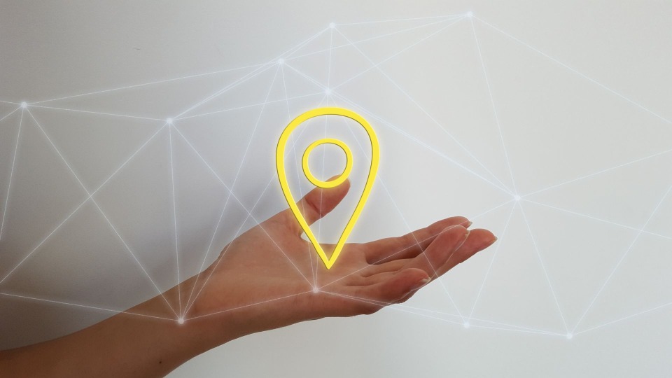
Session 1: What is spatial?
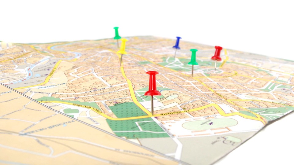
  1. A brief introduction to theories of the spatial
  2. What is spatial thinking?
  3. Asking spatial research questions
Session 2: Introduction to GIS
  1. Projections and Scale
  2. Types of GIS Data
  3. Data management and storage
  4. What is QGIS?
Session 3: Exploratory mapping   

  1. Types of maps

  2. Collecting data from the field

Exercise: Collecting and mapping neighborhood data using GPS Logger


Day Two

Session 4: Working with data (Part I)
  1. Exploring the Indian Census
  2. Processing census data
  3. Visualizing census data in QGIS
  4. Exploring patterns from a subset of census data
Exercise: Downloading, cleaning, and mapping Indian Census data
Session 5: Working with data (Part II)
  1. Working with images in QGIS
  2. Georeferencing in QGIS
  3. Digitizing rasters
  4. Basic vector and raster styling
  5. Working with terrain (DEM) data
  6. Basics of map-making/geoprocessing
    1. Performing joins
    2. Perform spatial queries and selection
    3. Basic line/length statistics
Exercise: Find an image online, geo-reference and digitize the raster; work with assigned data to perform basic geoprocessing operations

Meet your Instructors

Dr. Khushdeep Malhotra, Principal Research Scientist, IIT D

With a PhD in Geography and Urban Studies from Temple University, she works on experiences of home-making and belonging among the Kashmiri Sikh community in the context of precarity and militarization in Kashmir Valley. 

At IIT-Delhi, she is tasked with understanding young women's on-campus experiences and their implications for women's retention in STEM, using 'affective' GIS to tell data-driven stories.

 Prior to the PhD, Dr. Kaur worked in Public Health, where she used GIS and other mapping technologies to understand health disparities among historcally excluded communities in the US

Dr. Shamindra Nath Roy, Associate Fellow at 
CPR

He is a mixed-method researcher and his interest lies in examining inequalities through spatial lens. He has worked on rural-urban transformations, nature of governance in urban sprawls, internal migration dynamics in India, determinants of female workforce participation in India’s cities and socio-spatial inequalities in basic services at the sub-city level. 

He has a keen interest in deploying spatial concepts like proximity, contiguity or interaction in analyzing non-spatial data, and working across datasets from various sources in the urban context.

Ms. Eesha Kunduri


Ms. Eesha Kundri is a Ph.D. candidate in the Department of Geography, Environment, and Society at the University of Minnesota (UMN), Twin Cities. Her dissertation work investigated how digital labor platforms in India are helping reshaping social structures and worker subjectivities. Prior to joining UMN, Eesha worked at the New Delhi based think-tank, Centre for Policy Research (CPR), on issues of work, migration, and housing in metropolitan and small cities in India. Her work has been published in South Asia Multidisciplinary Academic Journal (SAMAJ), Economics and Political Weekly (EPW), and Urbanisation. 


What you’ll learn

Meaning of Spatial

Just starting out? No need to worry. Let’s take the first step together.

What is GIS?

A brief introduction to Geographic Information System.

Basics of Mapping

From types of maps to creating maps on QGIS, this course covers it all!

Working with Data

Having covered all bases, this section tells us how we can make practical use of our knowledge.

Syllabus

Launch your GraphyLaunch your Graphy
100K+ creators trust Graphy to teach online
Prayaas 2024 Privacy policy Terms of use Contact us Refund policy